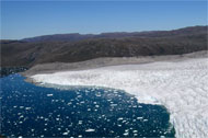
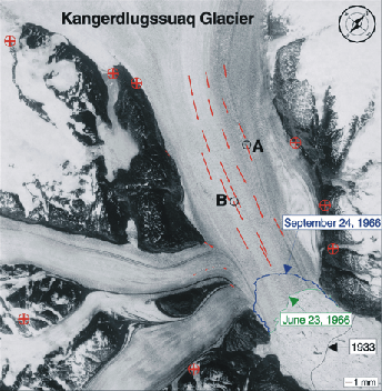
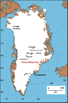
Investigating mass balance changes of Greenland and Antarctic ice sheets by using remote sensing and geodetic measurements.
Projects
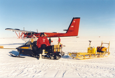
- Collaborative research: IPY: POLENET/Greenland: Using bedrock geodesy to constrain past and present day changes in Greenland’s ice mass. Michael Bevis, Bea Csatho, NSF-OPP, 2007 – 2009.
Selected Publications and Presentations
- Spikes, V. B., B. M. Csatho G. S. Hamilton and I. M. Whillans, 2003, Thickness changes on Whillans Ice Stream and Ice Stream C, West Antarctica, derived from laser altimetry measurements. Journal of Glaciology, 49(165), 223-230.
- Spikes, V. B., B. Csatho, and I. Whillans, 2003 Laser profiling over Antarctic ice streams: methods and accuracy. Journal of Glaciology, 49(165), 315-322.
- Filin, S., and B. Csatho, 2002. Improvement of elevation accuracy for mass balance monitoring using in-flight laser calibration. Annals of Glaciology, 34, 330-334.
- Thomas, R., B. Csatho, C. Davis, C. Kim, W. Krabill, S Manizade, J. McConnell, and J. Sonntag, 2001. Mass balance of higher-elevation parts of the Greenland ice sheet. J. Geophys. Res., 106(D24), 33,707-33,716 (2001JD900033).
- Thomas, R., T. Akins, B. Csatho, M. Fahnestock, P. Gogineni, C. Kim, and J. Sonntag, 2000. Mass balance of the Greenland ice sheet at high elevations. Science, 289(5478), 426-428.