Mapping and monitoring glacial geomorphology, permafrost and soil distribution from remotely sensed data.
Projects
- Reconstruction of the history of Greenland outlet glaciers since the Little Ice Age. B. Csatho, T. Schenk and C.J. van der Veen, NASA, 2006 – 2007.
- Pilot study for using ASTER images to map glacial geomorphology. C.J. van der Veen, B. Csatho, NASA, 2004 – 2005.
- Investigating long-term behavior of outlet glaciers in Greenland. B. Csatho, T. Schenk and C. J. van der Veen, NASA, 2003 – 2004.
Selected Publications and Presentations
- Csatho, B.M., C. Ping, L.R. Everett, J.M. Kimble, G. Michaelson and C. Tremper, 2006. Characterizing frozen ground with multisensor remote sensing. Eos Trans. AGU, 87(52), Fall Meet. Suppl., Abstract C13A-01. (pdf)
- van der Veen, C.J. and B. Csatho, 2005. Spectral characteristics of Greenland lichens. Geographie et Physique Quaternaire, 59(1), 63-73.
- Csatho, B., C.J. van der Veen and C. Tremper, 2005. Trimline mapping from multispectral Landsat ETM+ imagery. Geographie et Physique Quaternaire, 59(1), 49-62.
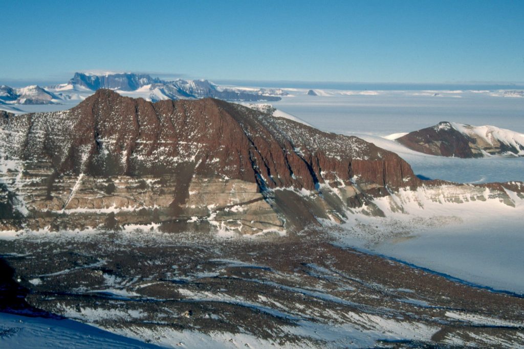
- Csatho, B., T. Schenk, W. Krabill, T. Wilson, W. Lyons, G. McKenzie, C. Hallams, S. Manizade and T. Paulsen, 2005. Airborne laser scanning for high-resolution mapping of Antarctica. EOS, 86(25), 237-238.
- Csatho, B., J. Kimble, C. Tremper, L. Everett and Y. Ahn, 2004. Toward mapping soils and geomorphology by remote sensing: an example of multi-sensor data fusion from the Dry Valleys. Antarctic Permafrost Workshop, Madison, WI, November 14-18, 2004. (jpg)