Overview
TOP is an archaeological project designed to answer questions about the abandonment and repopulation of the Island of Osteroy during the period between 750 and 500 years before present (BP). During this time period the landscape of Western Norway was affected by several factors of both short and long term. The most impactful long duree factor was global cooling associated with the Little Ice Age which was in effect in northerly climates by 700 BP (Torsnes, Rye, and Nesje 1993). Beginning in the mid-14th century this area also suffered several demographic crises as a result of recurring outbreaks of the Black Death. The signals for these factors are coincidental in time, and sometimes in space, and together resulted in a potentially large-scale depopulation of the island (Dybdahl 2013). Determining the motivation for human movement and the abandonment of important places is paramount to modern studies of migration and displaced peoples. Determining the differences between demographic and environmental crises that led to settlement abandonment and later repopulation on Osteroy in the middle ages will shed light on the ongoing factors that prompt the movement of people away from a landscape that has been continuously occupied since the Neolithic period (Bergsvik 2006). The Osteroy Project focuses on abandonment events in Norway, in both the long and short term, in order to potentially identify and differentiate between climatological and epidemiological causes of abandonment.
Once structures that had been abandoned due to outbreak of plague have been identified it will be possible to separate archaeologically their mode of abandonment from those associated with climate change (Schiffer 1976). This will be accomplished by the excavation of the living floors of structures abandoned between 750 and 500 BP. It is anticipated that due to the nature of plague outbreaks that significant amounts of the living and working spaces will have been left in place compared to those structures which were abandoned due to climate change (Schiffer 1976 and Mormando 2005). It is also likely that plagued structures would have been objects of social avoidance or fear (Mormando 2005 and Tuan 2013). This would support the notion that structures or landscapes abandoned due to plague outbreak were less likely to be reused, as trash disposal areas, or repopulated after their abandonment.
The excavated assemblage of a plagued structure should include most non valuable durable and semi-durable items of a single time period, whereas structures which were abandoned due to climate change should show a significantly higher mixture of assemblages and a much higher likelihood of having living floors stratigraphically superior to the original abandoned floor. Abandoned floors should show taphonomic indications, such as sedimentary or refuse deposits, representing the passing of time between the phase of abandonment and the re-use of the structure. All abandoned sites should show use as periodic modern refuse disposal areas although cultural factors will make this far less likely in structures which have a cultural memory as being associated with death or plague (Tuan 2013).
The selective re-use of the landscape is a form of the creation of new social memory which inescapably incorporates the old (Pred 1984). Landscapes are loaded with meaning and the stories associated to places by people are very much a cultural reality which must be taken into account to archaeologically examine both the landscape and the people who inhabited it (Zedeño and Bowser 2009 and Morgan 2010).
To gain insight into the archaeological culture of the Island of Osteroy between 750 and 500 BP we must then assess how the inhabitants of the island loaded its landscape with meaning. Because the island has been continuously occupied the best chance of understanding what it meant to live on Osteroy during the Little Ice Age and through the plague outbreaks is to understand as much as possible, quite literally, about what they left behind (Warren 1995). More specifically, what they left behind as they abandoned their homes and places where important attachments had been made with the landscape.
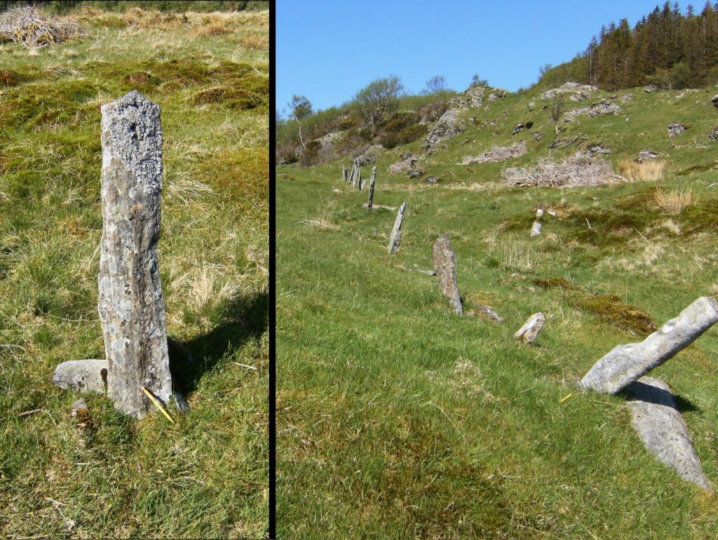
A two pronged strategy will be employed in the TOP survey. Dirt floored abandoned structures or foundations on the Island of Osteroy which date to the period in question will be excavated using paleo-surface controls and excavating arbitrary units within natural stratigraphy. All artifacts will be identified, provenience, catalogued, photographed, and if necessary sketched by hand. All paleo-surfaces will be photographed and sketched. All artifacts will be curated according to the applicable Norwegian law concerning antiquities. The second portion of the survey will involve geo-chemical testing in the environs immediately surrounding each excavated structure at a density of 4 per hectare and for an area not to be less than 500 meters radially from each structure. This geo-chemical testing will involve the taking of a soil core in 10cm increments to bedrock for the presence of phosphate.
Phosphate is an indicator element (4) in quantities exponentially higher than normal of human presence. This phosphate testing will allow for the identification of other less durable structures around the structure being tested and allow for excavation of these areas on subsequent surveys forensically.
It is absolutely necessary to travel to the Island of Osteroy to do this research and our letter of affiliation with the University of Bergen Departments of Archaeology and with Dr. Torill Christine Lindstrom puts us in a prime position to have good partners for both excavation and the interpretation of the psychology of paleo-landscapes. It is necessary however, that for the duration of the field season I should reside on the Island of Osteroy and thus eliminate the need to commute.
The results of this research will be disseminated in academic poster sessions, lectures and publications. The pilot study for this project has already generated 3 citations. This project will continue in the work started in PILOST (Pilot Osteroy Field Project) 2016.
A typical house floor, in 5cm increments, can be excavated in approximately three days. In addition to soil sampling and analysis, which will take an additional three to four days, over the course of a month it will be possible to effectively excavate and sample four structures. Additionally the analysis and interpretation of historical records will aid in the identification of abandoned properties and structures.
Media
References
- Dybdahl, A. (2013). Om uår og ødegårder i Kongespeilet og andre skriftlige kilder fra høymiddelalderen. Collegium Medievale, 26.
- Morgan, P. (2010). Towards a developmental theory of place attachment. Journal of Environmental Psychology, 30(1), 11-22.
- Mormando, F. (2005). Introduction: Response to the Plague in Early Modern Italy: What the Primary Sources, Printed and Painted, Reveal. Hope and Healing: Painting in Italy in a Time of Plague, 1500–1800, 1-44.
- Pred, A. (1984). Place as historically contingent process: Structuration and the time‐geography of becoming places. Annals of the association of american geographers, 74(2), 279-297.
- Warren, E. J. (1995). Coastal sedentism during the atlantic period in nordhordland, western norway? the middle and late mesolithic components at kotedalen
- Fytianos K, Kotzakioti A. (2005) Sequential fraction of phosphorus in lake sediments of northern Greece. Environmental Monitoring and Assessment ; 100: 191-200.
- Torsnes, I., Rye, N., & Nesje, A. (1993). Modern and Little Ice Age equilibrium-line altitudes on outlet valley glaciers from Jostedalsbreen, western Norway: an evaluation of different approaches to their calculation. Arctic and Alpine Research, 106-116.
- Tuan, Y. F. (2013). Landscapes of fear. Pantheon.
- Zedeño, M. N., & Bowser, B. J. (2009). The archaeology of meaningful places. The archaeology of meaningful places, 1-14.